By Kevin Byrne, AccuWeather.com Staff Writer
February 22,2015; 11:03PM,EST

In Tennessee, Gov. Bill Haslam elevated the state of emergency declaration to a level two due to "major impacts to infrastructure power and roads" throughout the state, the Tennessee Emergency Management Agency (TEMA), reported. More than 44,00 customers remained without power in the state as of Sunday afternoon, and downed power lines, flooding and ice continue to remain a threat, according to TEMA. Three weather-related fatalities were also reported on Saturday.
The ice storm turned the small town of Monterey, Tennessee into a "disaster area" according to the Cookeville Herald-Citizen. The Herald-Citizen reported it could be days before power is restored, and Monterey Mayor Bill Wiggins told the paper the situation was "awful" and many elderly residents were stuck in their homes with no heat.
The heaviest snow on Saturday fell in the West Virginia mountains, northwestern Virginia and northern and western suburbs of the Baltimore and Washington D.C. suburbs. Nearly two feet of snow was measured in Marlinton, Pocahontas County, West Virginia.
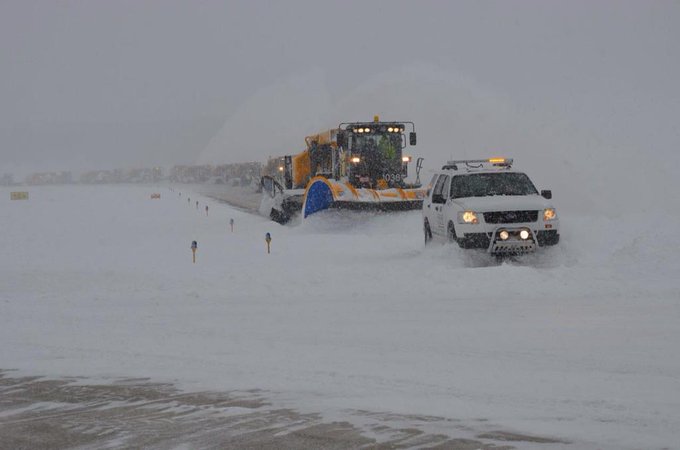
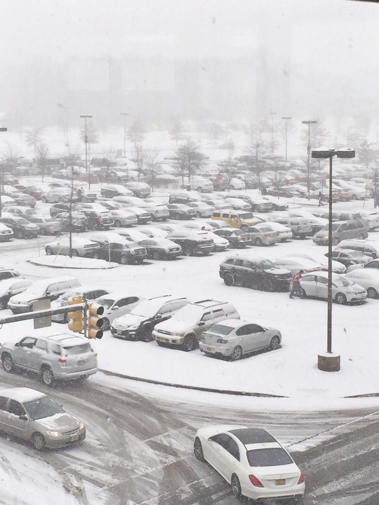
Travel was severely hindered on Saturday in the Northeast as hazardous road conditions caused numerous accidents. Speed reductions were instituted on major roadways from the mid-atlantic to New England. Additionally, hundreds of flights were canceled and thousands were without power throughout the Northeast through early Sunday morning.
With 5.9 inches of snow on Saturday, Cincinnati set a new daily snowfall record, breaking the previous record of 5 inches set back in 1893. As snow transitioned to rain in the mid-Atlantic, Washington, D.C., Dulles International Airport broke its Feb. 21 rainfall record with 0.93 inches, breaking the record of 0.85 inches set in 1993.
While more snow did make its way into snowbound Boston, the city only measured 1.2 inches from this storm. Boston's current seasonal snowfall total stands at 99.9 inches, making it the second snowiest winter on record for the city.
RELATED:
Winter Vs. Summer: When Is Gas More Costly?
AccuWeather Winter Weather Center
More Arctic Cold to Flow Across Eastern US Through End of February
 Snow and ice brought down power lines in Monterey, Tennessee. (Photo/ Ricky Shelton, Mayor of Cookeville, Tennessee)
 An ice storm brought down a utility pole in Monterey on Saturday. (Photo/ Ricky Shelton, Mayor of Cookeville, Tennessee)
 Residents could be with out power for days in Monterey according to the
Cookeville Herald-Citizen. (Photo/ Ricky Shelton, Mayor of Cookeville,
Tennessee)
 Ice caused trees to fall and block roadways in Monterey, Tennessee. (Photo/ Ricky Shelton, Mayor of Cookeville, Tennessee)
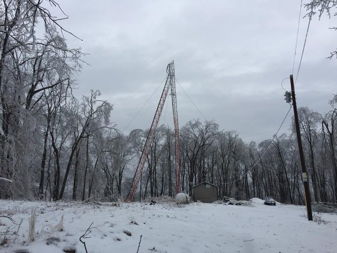
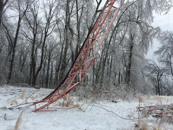
Possibly the craziest picture we've seen from the ice storm. A Crossville radio station's signal tower collapsed!




No comments:
Post a Comment