By Alex Sosnowski, AccuWeather.com Senior Meteorologist
April 27,2015; 9:18PM,EDT
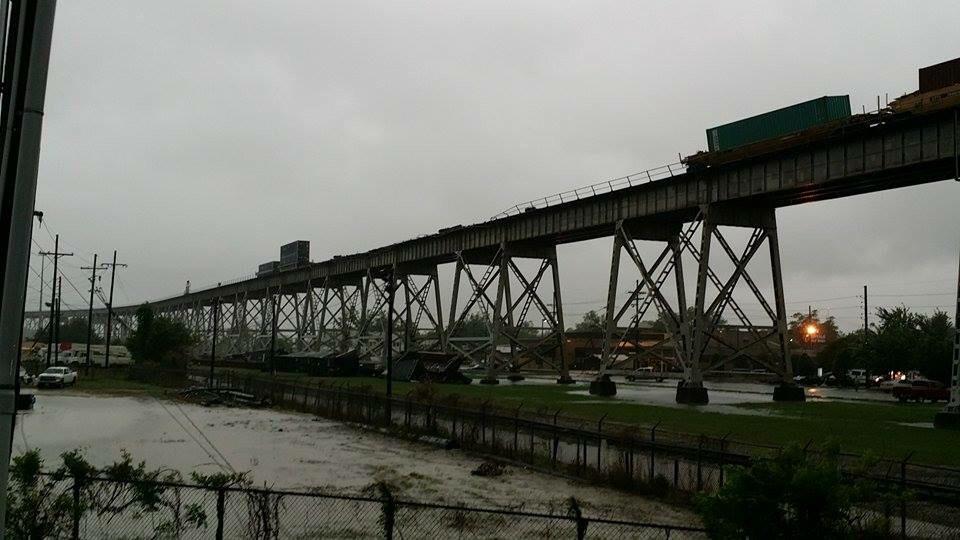
Thunderstorms blasted areas from southern Louisiana with drenching rain in the southern parts of Mississippi and Alabama to the western part of the Florida Panhandle on Monday.
Entergy was reporting outages to approximately 150,000 customers in the New Orleans area as of the midday hours on Monday.

The storms are occurring a couple of days after severe storms with high winds created rough seas and toppled boats at a regatta in Mobile Bay on Saturday.
Drenching and locally severe storms will extend eastward along the Florida Panhandle to part of the northern counties of the Florida Peninsula into Monday night.
More rounds of storms will fire farther to the west and move eastward from the upper Texas coast to the Mississippi Delta region. Some of the storms will bring large hail, damaging winds and frequent lightning strikes.
RELATED:
South Interactive Radar
AccuWeather MinuteCast® For Your Exact Location
The Difference Between Tornado Watches and Warnings
According to AccuWeather Senior Meteorologist Henry Margusity, "Storms will erupt over central and coastal Texas into Monday night."
Because of the repeating nature of the storms, there is an elevated risk of flooding along with the potential for strong winds and hail. The risk includes the Houston area to Beaumont and Port Arthur, Texas, and New Orleans, as well as the Lake Charles, Alexandria and Lafayette, Louisiana areas.
"A few big storms with hail and strong winds can affect areas farther west along the I-35 corridor from Waco, Texas, to near Dallas and Wichita Falls, Texas, Margusity said.
Along with the risk of localized damaging wind gusts, large hail and a couple of tornadoes, flash flooding can occur with the storms in Texas.

The risk of flooding rain will extend near and north of Dallas, westward to Amarillo, Texas, and into the Oklahoma City area.


No comments:
Post a Comment